Geology & Geotechnical Investigation
Provide engineers with critical data to design roads and structures.
Ground Penetrating Radar has been used around the world to provide geologists and geotechnical engineers with information on near-surface geology and geotechnical information critical to understanding rock and soil characteristics.
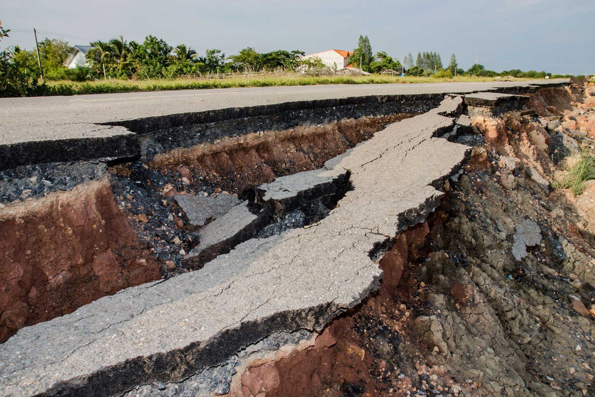
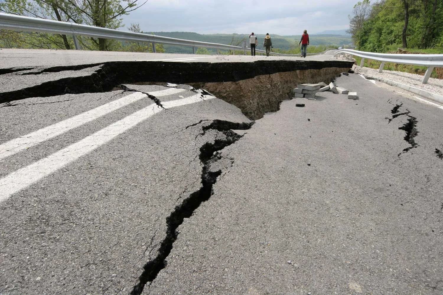
Information collected from GPR is used to determine depth to bedrock, map rock and soil layers, fracture trace and lineament analysis, locate karst structures, buried channels, faults and slips and other geologic hazards.
Not only is this information used to determine the cause of road, structure and other ground surface failures, it is used to provide engineers with critical data to design roads and structures to prevent these failures from occurring.

GPR Can Also be Used to Locate:
✦ Soil strata layers
✦ Sources of groundwater
✦ Depth of bedrock
✦ Fill placement
✦ Boulders and rocks
✦ Root masses
✦ Disturbed soil areas
✦ Buried wood